01On foot, under cover
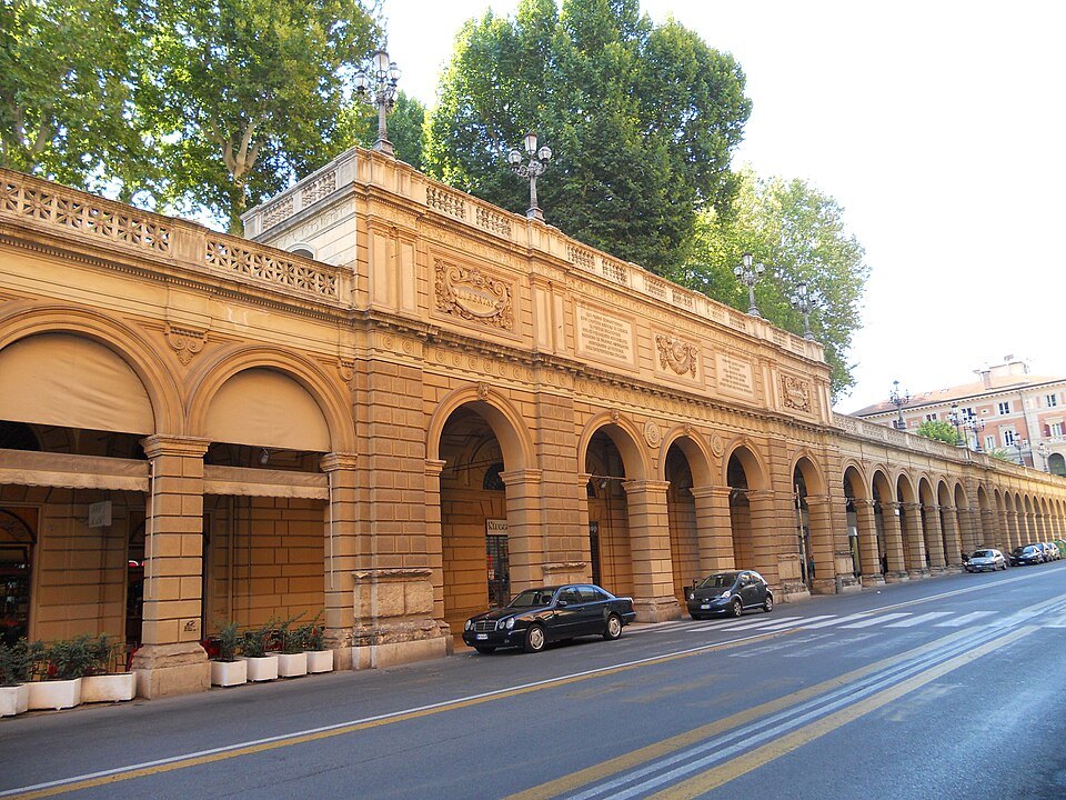
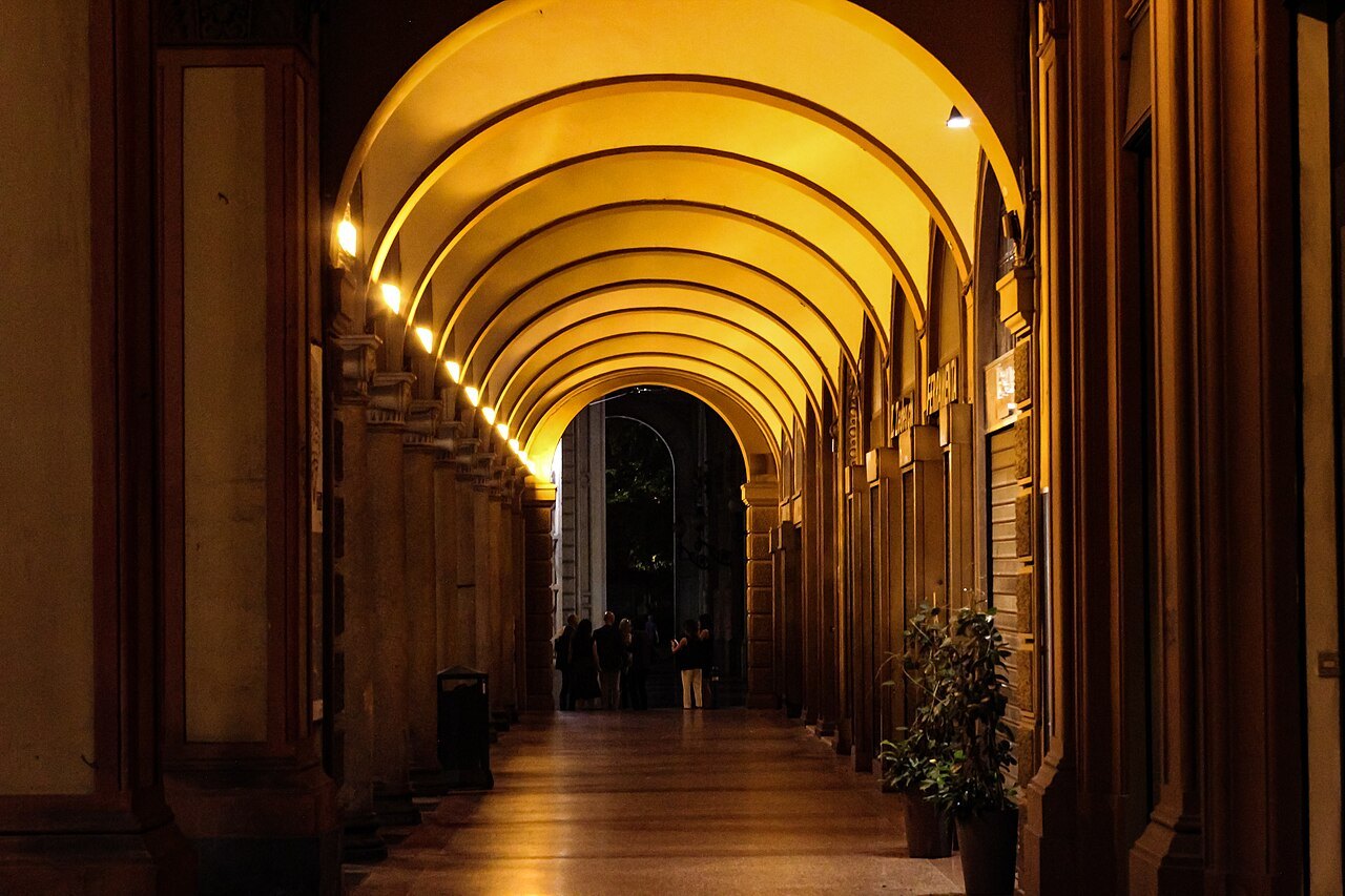
The historic center of Bologna is compact: inside the ring of avenues that follows its old walls, you can walk from one side to the other in about half an hour. Almost every street that matters is lined with porticoes, so you can do it in rain or in August sun without leaving shelter.
Learn the main covered axes and the city falls into place. Via dell'Indipendenza runs north from the center to the station. Via Rizzoli leads east to the two towers, where Strada Maggiore and via Zamboni, the university street, fan out. Via Farini and via Santo Stefano run south-east, and via Saragozza leads west towards the long climb to San Luca.
02The T and the weekends
Via Rizzoli, via Ugo Bassi and via dell'Indipendenza meet in a T at the heart of the city. They are closed to private cars, and at weekends and on holidays they are handed over entirely to people on foot — which is when the center is at its most pleasant to walk.
03Buses
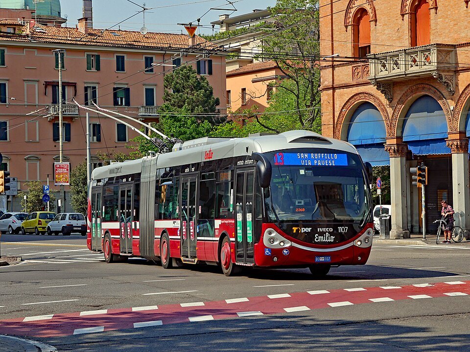
City buses and trolleybuses are run by TPER. They are the way to reach the edges — the hill below San Luca, the districts beyond the ring road — rather than to move around the center, which is quicker on foot.
Note Have a valid ticket before you ride, and validate it or pay on board the way TPER tells you to; an unvalidated ticket counts as no ticket. Note The city has been building a tram network, and works can move stops and routes — check TPER's current information rather than a map you saved.
04Bicycles
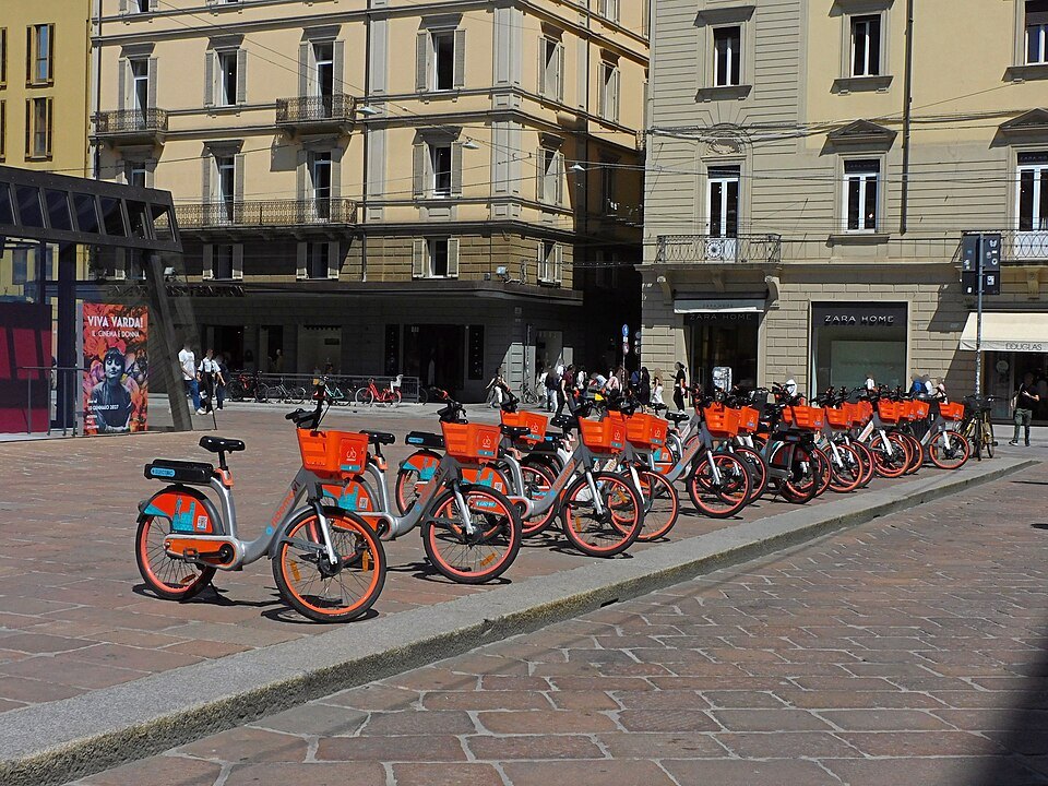
The center is flat and the Bolognese cycle everywhere. Shared bicycles are parked across the city, and there are cycle lanes on the avenues around the old walls.
Note Porticoes are for walking, not for riding: cycle in the street, and lock a bike only where bicycles are already parked.
05Taxis
Taxis are taken from a rank — there are ranks at the station and at points around the center — or called from a radio-taxi cooperative. They are not usually hailed in the street.
Arriving by car, or thinking of driving in town? Read getting here first, for the ZTL.
Schematic, not to scale. Red lines are the main porticoed streets; the dashed ring follows the demolished walls.
- northvia dell'Indipendenzato the station and the Montagnola
- eastvia Rizzoli → Strada Maggiorepast the two towers, under the Portico dei Servi
- north-eastvia Zambonithe university street
- south-eastvia Farini · via Santo Stefanothe elegant porticoes
- south-westvia Saragozzatowards the San Luca portico
- westvia Ugo Bassitowards the Pratello and San Felice
Booking the practical bits
Some links on this page are affiliate links. If you book through one we may earn a commission, at no extra cost to you. It does not affect what is recommended here, and no sight page on this site carries one.
A place to leave luggage on the day you check out, so the last afternoon is spent walking the porticoes rather than guarding a suitcase; and mobile data for bus information on the move.