
Bologna has had three sets of walls in its history, and the last of them is the one most visitors never quite notice, because it is mostly gone. Where the third and largest circuit of medieval and Renaissance fortifications once ran, there is now a broad ring road called the viali, lined with plane trees and punctuated by a dozen surviving gates standing more or less alone, their flanking walls demolished generations ago. Walking that ring, or even a stretch of it, is one of the better ways to feel the real size and shape of the old city, well beyond the compact core around Piazza Maggiore.
Why there's a ring road instead of a wall
The walls that concern most visitors to Bologna's towers and gates are not the ones standing today but the ones that used to connect them. In the early twentieth century, city planners tore down most of the third circle of walls to let trams and later cars move freely around a city that had outgrown its medieval footprint. The gates themselves were mostly spared, left standing as isolated monuments at the points where roads had always passed through the fortifications, so that today you find a Roman-looking arch or a crenellated tower sitting in the middle of a traffic roundabout with nothing attached to either side of it.
The result is unusual: a near-complete ring of reference points with none of the wall that originally joined them. Following the viali from gate to gate means retracing a boundary that technically no longer exists, using the gates as the only physical evidence it was ever there.
Walking a stretch of the ring
Covering the entire circuit on foot is a long undertaking and not something most visitors will want to do in one go, but a partial loop is entirely manageable and makes a good orientation walk, especially on a first or second day. The viali are wide, mostly flat, and shaded, with a pedestrian and cycling path running alongside the traffic lanes for much of their length, so the walking itself is easy even if the scenery is more residential than monumental in places.
A practical approach is to pick a quarter of the ring rather than the whole thing, starting from one gate and finishing at another that sits conveniently near somewhere you already plan to be. The neighborhoods guide is useful here, since each stretch of the viali borders a different part of the city with its own character, from quieter residential streets to areas near the university.
If you are short on time, the western stretch between Porta Saragozza and Porta San Felice is one of the more rewarding short walks, since it brushes past some of the city's most photogenic surviving arcades and connects directly to the start of the covered walkway up to San Luca.

The gates worth slowing down for
Not every gate is equally interesting to stand in front of, but a handful reward a pause:
- Porta Saragozza marks the start of the famous arcaded ascent toward the Sanctuary of San Luca on the hill above the city. If you plan to walk up, the guide to pacing the climb without wearing yourself out is worth reading before you set off from here.
- Porta San Felice, on the western side, sits at the start of a long straight road still lined with porticoes, giving a sense of how the covered walkways once extended well beyond the historic center.
- Porta Maggiore, to the southeast, is one of the more substantial surviving structures and a good spot to appreciate the scale of what the original fortifications must have been.
- Porta San Mamolo and Porta Castiglione, in the southern stretch, sit near some of the quieter residential streets and make a good link if you are also heading toward Santo Stefano or San Domenico.
Each gate is a useful landmark for getting your bearings, since the medieval street pattern inside the ring tends to radiate outward from the center toward these fixed points, a layout that becomes much easier to read once you have stood at a gate or two and looked back toward the towers.
Combining the walk with the rest of the city
The ring works well as a frame around a day rather than the whole of it. A morning spent inside the historic center under the porticoes, followed by a stretch of the viali in the afternoon, gives a sense of both the dense medieval core and the looser, greener edge the walls used to mark. The itineraries page has suggestions for stitching a gate walk together with other sights depending on how much time you have and which direction you are already heading.
Note The viali carry real traffic, including buses and a fair amount of through-traffic, so treat them as a city road rather than a park path. Crossings are generally well marked, but keep to the designated pedestrian and cycling strip rather than cutting across the carriageway.
If walking the full ring sounds appealing but your legs disagree, the same route can be covered by bus or bike with far less effort; the getting around page explains how local transport and bike options work in Bologna, including how to combine short walking stretches with a bus ride between gates that are too far apart to comfortably cover on foot in one sitting.
For those interested in how the city's medieval skyline looked before all this flattening and widening, it is worth pairing a gate walk with the guide to spotting the towers hidden inside ordinary houses, since many of the same decades that saw the walls demolished also saw a great many of the city's private towers quietly absorbed into later buildings. Together, the missing walls and the hidden towers tell much of the same story: a medieval city gradually folded into a modern one, with just enough left standing, at the Due Torri and at gates like these, to still trace its outline if you know where to look. If you would rather see that outline from above than trace it at street level, the guide to viewpoints when the tower climb isn't an option covers alternative spots that lay the whole ring out at a glance.


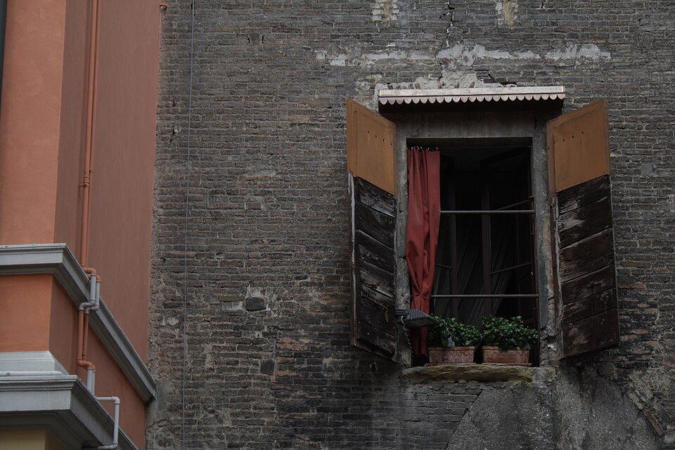 How to spot the medieval towers hidden inside Bologna's houses
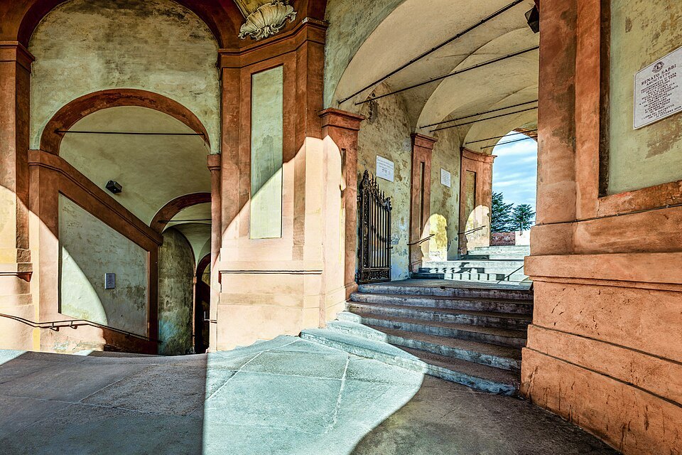 How to walk up to San Luca without wearing yourself out
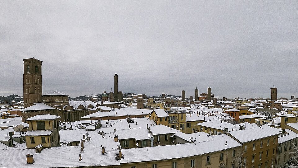 Where to see Bologna from above when you cannot climb the tower